Health, environment, climate for our grandchildren
We Pollute
Submitted by Jerry Halberstadt
on Sat, 09/23/2023 - 16:39
We burn fossil fuels—coal, oil, gas, wood, diesel, gasoline—for the energy we use in all our activities. These fires create pollution that harms our health and endangers our climate. Come with me and survey some of the sources of pollution in our city, Peabody, Massachusetts. Then we can begin to discuss how we can work together to change things and reduce pollution.
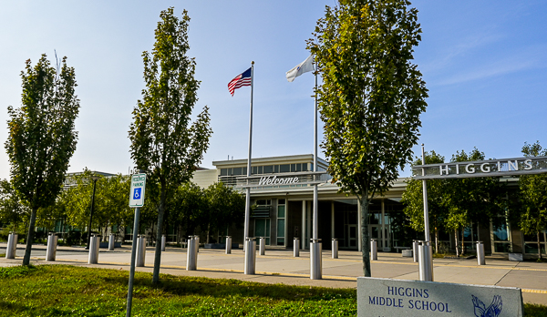
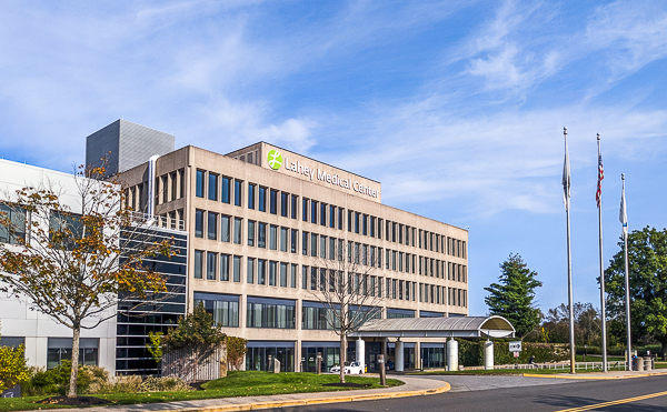
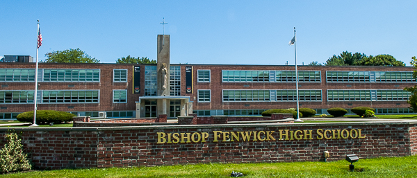
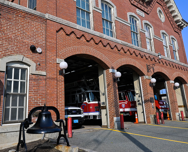
Our buildings
From left: Peabody District Courthouse; Baptist church; City Hall; St. John's church; firehouse. In each of these buildings we use energy to heat and cool and for lighting and communications.Higgins Middle SchoolThe St. Vesalius Greek Orthodox Church, one of the many buildings for communal and religious gathering for the many cultural, religious, and civic groups of Peabody.Lahey Medical CenterPeabody Institute LibraryBishop Fenwick High SchoolFire station
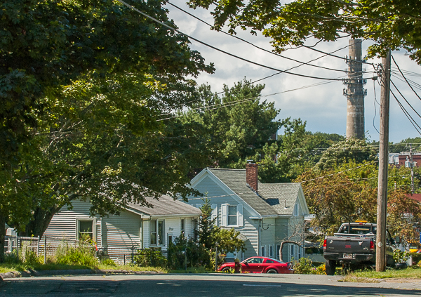
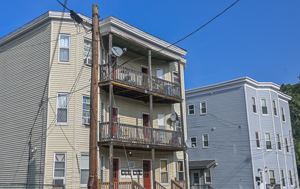
Dwellings
Apartment building for elderly persons.Single-family homes on tree-shaded street. The nearby old smokestack is adjacent to the Waters River Facility of the Peabody Municipal Light Plant.Three-decker buildings
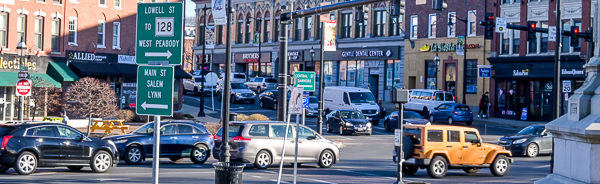
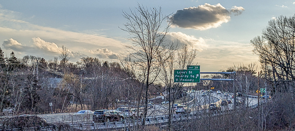
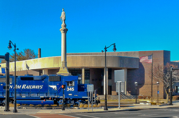
Transportation
Peabody Square traffic. Commuters from Salem and Marblehead pass through Peabody.We depend on our cars to go places. Traffic on route 128 near Lowell Street. Three major roads pass through Peabody: I95, 128, and 1.The diesel freight train that serves the Rouselot gelatin plant goes through Peabody Square, passing the Civil War monument and Peabody District Court.Airplanes on path to land at Logan airport pass over Peabody city hall.
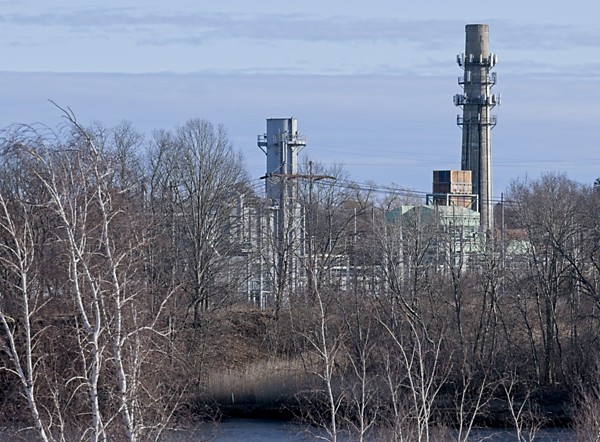
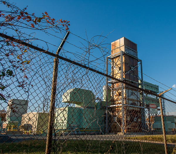
Electrical generation
The electric generators for peak demand use are located at the Waters River facility of the Peabody Municipal Light Plant; they burn natural gas (methane) and oil. The electric generators for peak demand use are located at the Waters River facility of the Peabody Municipal Light Plant; they burn natural gas (methane) and oil.
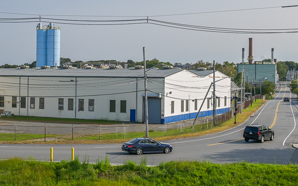
Farm & Industry
Dairy farm in PeabodyRouselot Plant
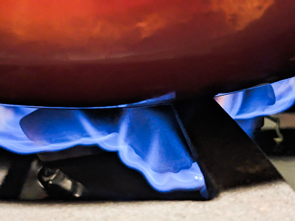
Indoor pollution
Indoor air pollution can be more severe than outdoor pollution. So-called clean natural gas is mostly methane which impacts health as well as the environment.
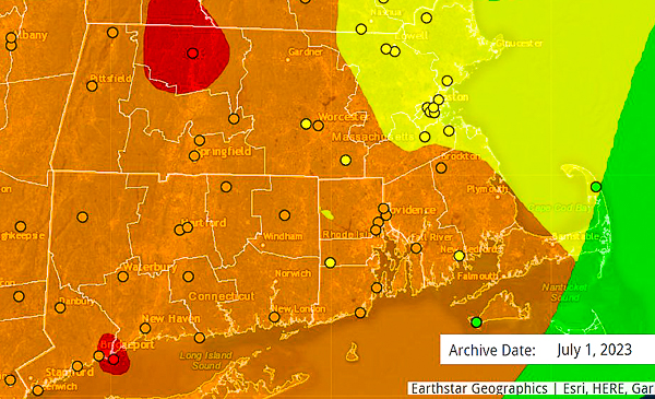
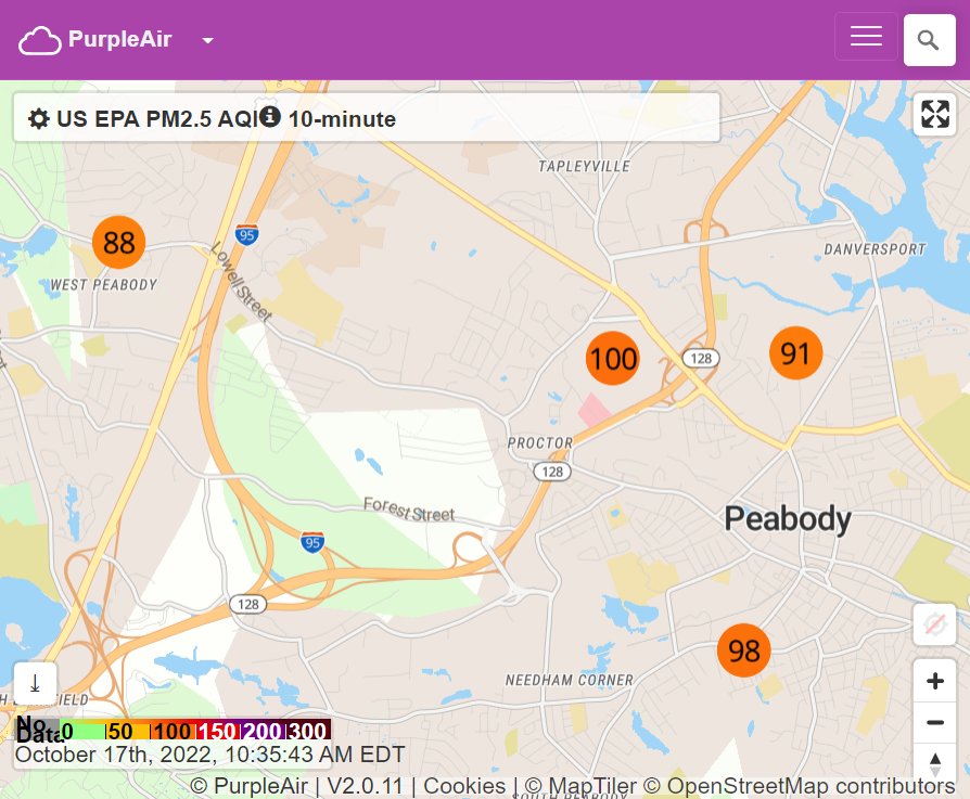
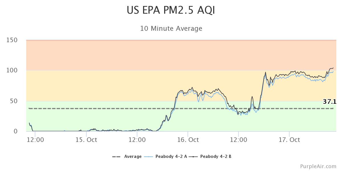
Wildfire smoke
Air quality map showing levels of PM2.5 and PM10 particulate pollution caused by wildfires on July 1, 2023. Green = "good", with yellow = "moderate", orange = "unhealthy for sensitive people", and red = "unhealthy." Source: AirNow Map of Peabody area showing four red circles with numbers representing air quality readings of PM2.5, on October 17, 2022, 10:35 am. Air Quality (AQ) monitors from West to East (Left to Right): #nn numbers identify the monitor. Near Crystal Lake #5.3, AQ=88; North Shore Mall #4.2, AQ=100; Pulaski St. near Davensport #3.3, AQ=91; near Welch School #2.1, AQ=98. AQ is the 10-minute level of PM2.5 using EPA measure.Graph of AQ level readings at monitor 4.2 at the North Shore Mall, November 15-17, 2022
PM2.5 spikes such as you are seeing in Peabody are associated with several major short-term health problems in the 24-48 hours following the spike: increased heart attacks, increased episodes of cardiac arrhythmia, and increased episodes of acute asthma in both children and adults.”—Philip J. Landrigan, personal communication